Photo: RNZ
Air New Zealand say poor weather conditions today disrupted nearly 30 flights at Auckland Airport.
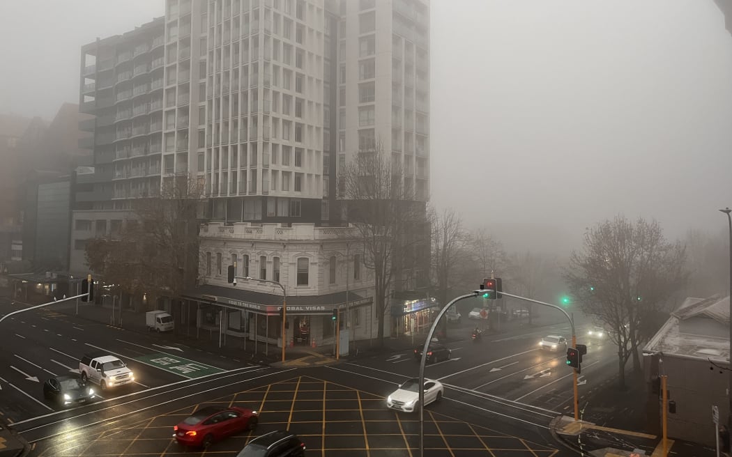
The city had been blanketed in a thick fog for much of the morning.
An Air New Zealand spokesperson said this caused the cancellation of 16 flights out of Auckland, while 13 flights were delayed.
The majority of customers have been rebooked to travel over the next 24 hours, they said.
Fog in Auckland this morning is expected to give way to afternoon/evening showers & thunderstorms. pic.twitter.com/1yNfZPGrN4
— NIWA Weather (@NiwaWeather) June 9, 2025
A severe thunderstorm watch has been issued for parts of the North Island, and downpours of up to 40 millimetres per hour are expected in some areas this afternoon.
Areas under the watch include Northland, Auckland, Great Barrier Island, and the northern part of the Coromandel Peninsula.
Western areas in Waikato and Taranaki are also affected.
⚡Severe Thunderstorm Watch⚡
— MetService (@MetService) June 9, 2025
Time: 4pm - midnight Tue, 10 June
Areas: Northland, Auckland, Great Barrier Island, northern Coromandel Peninsula, and western areas of Waikato, Waitomo and Taranaki.
An active front is expected to move eastwards onto the North Island late this… pic.twitter.com/GPTihwq7Ea
MetService predicts that the thunderstorms may bring downpours of between 25 and 40mm per hour.
It said surface flooding and flash flooding are possible.
The watch is in place from 4pm until midnight.
MetService Meteorologist Mmathapelo Makgabutlane told Midday Report people in the affected areas should keep an eye on the forecast.
She said the weather had become quite changeable.
"The start of the year was relatively settled, there were still some thunderstorms and some weather, but back then many parts of the country were in a drought.
"We are also at that transition period from the warmer to the cooler time of the year and that makes thunderstorms more likely," she said.
When it came to the snow, she said the heavy fall was mostly over, but elevated parts of the South Island could be in for more.
"Especially places like Canterbury, that Mackenzie district once again, so for anyone who is planning to be one the road be aware there could be snow," she said.
MetService has issued road snowfall warnings for parts of the South Island from midday.
Snow is expected to hit the Lindis Pass section of State Highway 8 and the Crown Range Road mainly from tonight into early Wednesday morning.
Snowfall is also expected on the Arthur's and Porters passes in Canterbury around the same time.
Snow is expected to accumulate around the summit of each road, with lesser amounts expected down to 600 metres.
Meanwhile, parts of the South Island have again woken up to sub-zero temperatures this morning, with Mount Cook the lowest in the country at -10degC.
It's followed by Lake Tekapo at -9deg and Central Otago at -4deg.
It's also chilly on the North Island's Desert Road at -3.7deg.